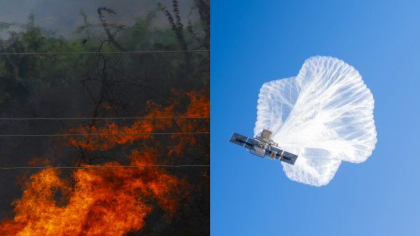
NASA’s Ames Research Center in California’s Silicon Valley, the U.S. Forest Service, high-altitude balloon company Aerostar, and Motorola to provide cell service from above in rugged terrain and remote locations where wildland fires burn and cell phone service is often limited.
The Project is funded by the NASA Science Mission Directorate’s Earth Science Division Airborne Science Program and the agency’s Space Technology Mission Directorate Flight Opportunities program.
For the wildland fires, the flight testing of the Strategic Tactical Radio and Tactical Overwatch (STRATO) technology will be used.
Don Sullivan, principal investigator for STRATO at NASA Ames said “This project leverages NASA expertise to address real problems. We do a lot of experimental, forward-thinking work, but this is something that is operational and can make an immediate impact.”
Wildland fires often burn in remote, rugged areas and firefighting takes place in areas where cell service is not ideal. Providing cellular communication from above, from a vehicle that can move as the fire changes, would improve firefighter safety and firefighting efficiency.
The First test flight took place over the West Mountain Complex fires in Idaho in August and demonstrated significant opportunities to support future firefighting efforts.
The balloon was fitted with a cellular LTE transmitter and visual and infrared cameras. To transmit between the balloon’s cell equipment and the wildland fire incident command post, the team used a SpaceX Starlink internet satellite device and Silvus broadband wireless system.
The onboard instruments provided cell coverage for a 20 mile radus. By placing the transmitter on a gimbal, that cell service coverage could be adjusted as ground crews moved through the region.
The onboard cameras gave fire managers and firefighters on the ground an aerial view of the fires as they spread and moved, opening the door to increased situational awareness and advanced tracking of firefighting crews.
On the ground, teams used an app called Tactical Awareness Kit (TAK) to identify the locations of crew and equipment. Connecting the STRATO equipment to TAK provided real-time location information helped crews pinpoint how the fire moved to direct resources while staying in constant communication.
The team plans to optimize balloon locations as a cluster to maximize coverage and anticipate airflow changes in the stratosphere where the balloons fly. By placing balloons in strategic locations along the airflow path, they can act as replacements to one another as they are carried by airflow streams. The team may also adapt the scientific equipment aboard the balloons to support other wildland fire initiatives at NASA.


